Map Terrain Features Quiz
Share


Maps are more than just representations of geographical locations; they are windows into the diverse and intricate terrain features that shape our world. From towering mountains to winding rivers, each feature tells a story of natural history and geographic evolution. This quiz will challenge your understanding of these elements, offering a deeper appreciation of the landscapes that surround us. Ready to put your knowledge to the test?
We recommend that you do not leave the page that you are taking this quiz in. Stay honest 🙂
Map Terrain Features Quiz Questions Overview
1. What is the highest mountain in the world?
Mount Kilimanjaro
Mount Everest
K2
Mount Elbrus
2. Which type of map is specifically designed to show the elevation and shape of the terrain?
Political map
Topographic map
Climate map
Road map
3. What term describes a flat, extensive area of land with very little change in elevation?
Plateau
Valley
Plain
Basin
4. Which feature is formed by the deposition of sediment at the mouth of a river?
Delta
Canyon
Isthmus
Peninsula
5. What is a large, naturally occurring community of flora and fauna occupying a major habitat called?
Biome
Ecosystem
Habitat
6. Which term describes a narrow strip of land connecting two larger land areas?
Peninsula
Isthmus
Strait
Archipelago
7. What is the term for a deep, narrow valley with steep sides, often carved by a river?
Gorge
Canyon
Ravine
Valley
8. Which type of landform is characterized by a flat top and steep sides, commonly found in arid regions?
Mesa
Butte
Plateau
Hill
9. What is the term for a large body of ice that moves slowly over land?
Iceberg
Glacier
Snowfield
Permafrost
10. Which feature is a large, bowl-shaped depression formed by volcanic activity?
Caldera
Crater
Sinkhole
Basin
11. What is the term for a low area between hills or mountains, often with a river running through it?
Valley
Canyon
Plateau
Ridge
12. Which term describes a large, flat-topped mountain or hill with steep sides, smaller than a mesa?
Butte
Mesa
Plateau
Hill
13. What is the term for a chain or cluster of islands?
Archipelago
Peninsula
Isthmus
Atoll
14. Which feature is a narrow body of water that connects two larger bodies of water?
Strait
Channel
Bay
Gulf
15. What is the term for a large, flat area of land that is higher than the surrounding land?
Plateau
Mesa
Butte
Hill
16. Which term describes a long, narrow, and deep inlet of the sea between high cliffs, typically formed by glacial activity?
Fjord
Bay
Gulf
Estuary
17. What is the term for a large, natural elevation of the earth‘s surface rising abruptly from the surrounding level?
Mountain
Hill
Plateau
Ridge
18. Which feature is a body of water partially enclosed by land but with a wide mouth, affording access to the sea?
Bay
Gulf
Lagoon
Estuary
19. What is the term for a large, naturally occurring underground chamber, typically of limestone, that is formed by the dissolution of rock?
Cave
Sinkhole
Gorge
Canyon
20. Which term describes a large, flat, treeless Arctic region where the subsoil is permanently frozen?
Tundra
Taiga
Steppe
Savanna
We recommend that you do not leave the page that you are taking this quiz in. Stay honest 🙂
Can Your Friends Do Better Than You in This Quiz?
Share this quiz with your friends and compare results.


Was this page helpful?
More Popular Geography Quizzes:
-
 Top Quiz
Deserts Quiz
-
 Top Quiz
Caribbean Quiz
-
 Top Quiz
History Map Quiz
-
 Top Quiz
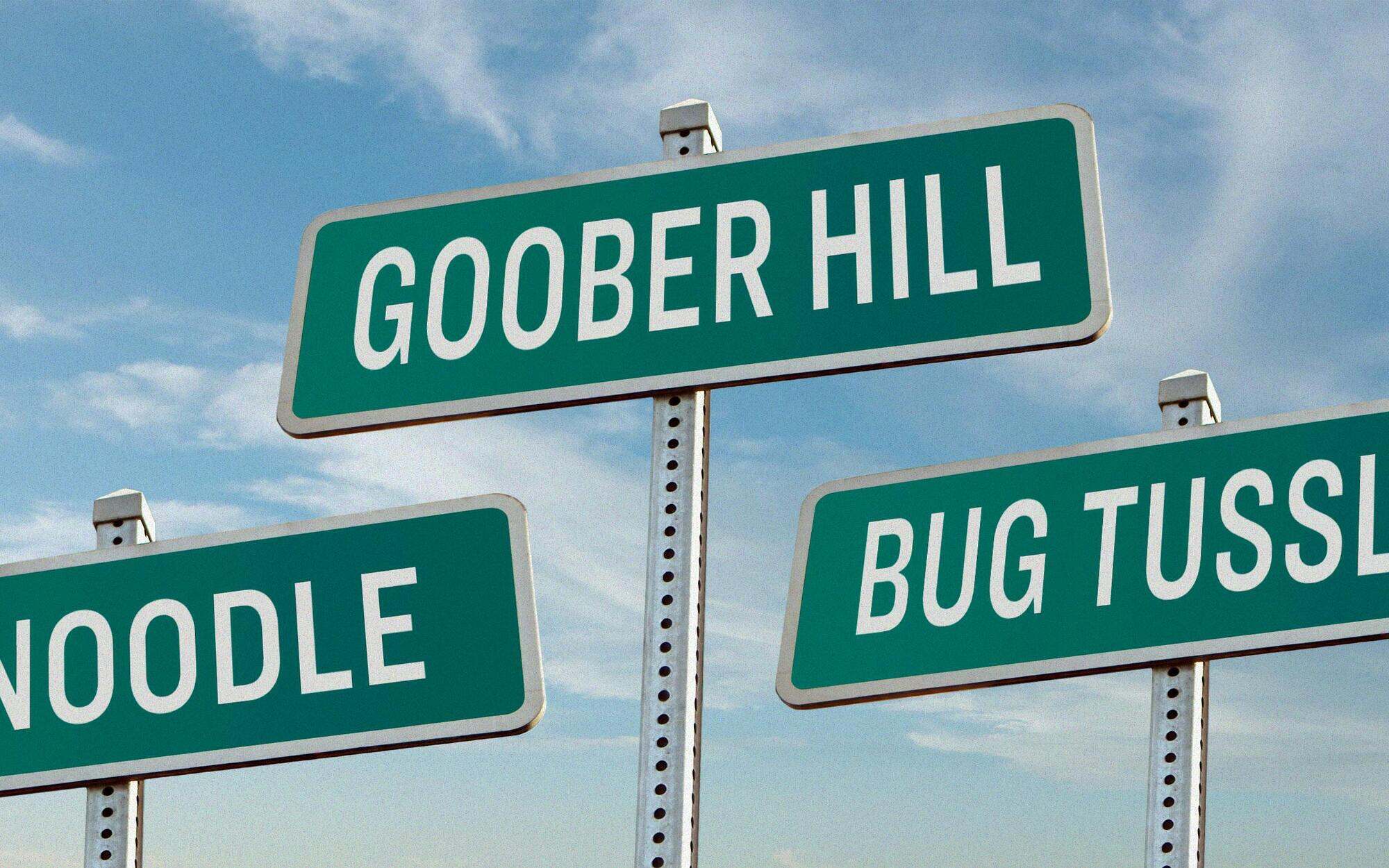
City Names Quiz
-
 Top Quiz
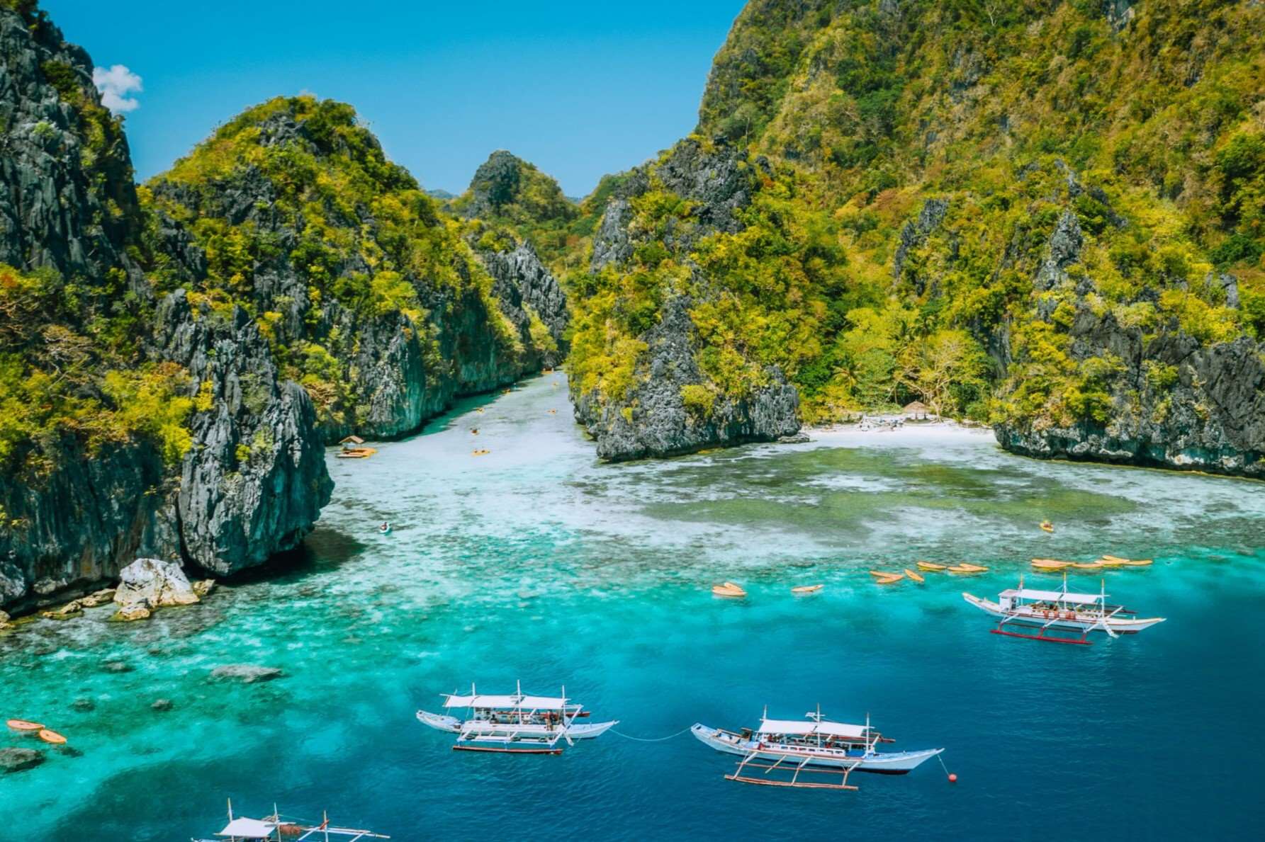
Philippines Quiz
-
 Top Quiz
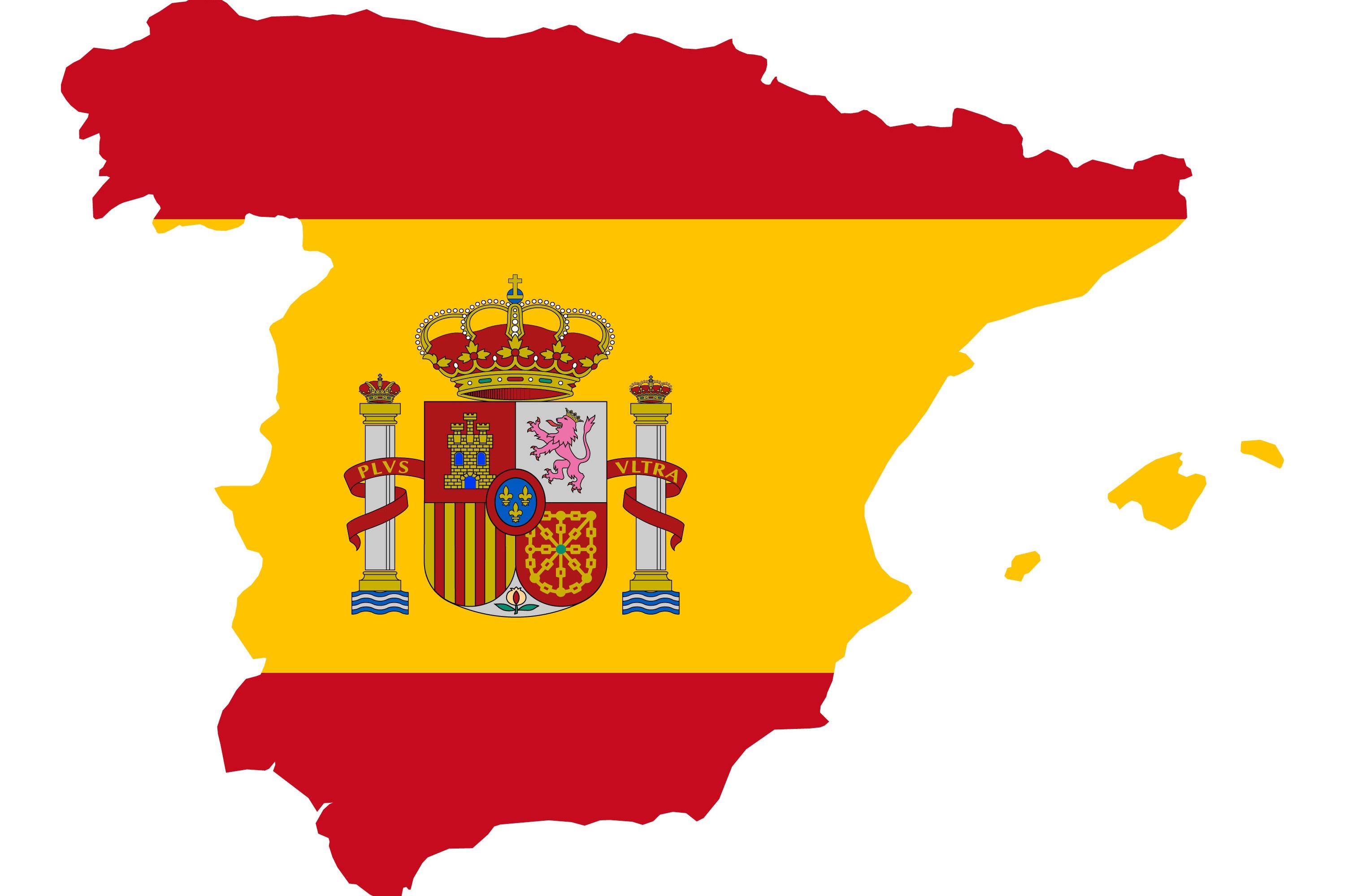
Spain Map Quiz
More Interesting Quizzes For You:
-
 Top Quiz
How Many Kids Should I Have Quiz
-
 Top Quiz
Video Game Music Quiz
-
 Top Quiz
Market Research Quiz
-
 Top Quiz
Rap Lyrics Quiz
-
 Top Quiz
Relationships Quiz
-
 Top Quiz
Should I End My Friendship Quiz